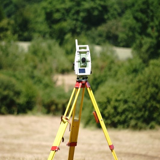
Geomatics
A comprehensive surveying, mapping and measurement service.
As our business has grown, we’ve sought out and utilised the best surveying professionals/ systems to ensure precision and get a comprehensive overview of the project.
Laser scanning & point clouds
3D building surveys & BIM
Land, engineering & planning surveys
Measured building surveys
Close range, sub-millimetre, laser scanning

